OUR SERVICES
Our highly experienced team of professional surveyors will provide you with the highest quality, cost-effective and innovative survey service. Our services, personnel and knowledge continue to develop and evolve in this ever-changing industry to ensure we can produce the latest, technically advanced options available. Continuous improvements and new developments have resulted in our services portfolio expanding and allowing us to cater for & deliver the whole range of available surveys
-
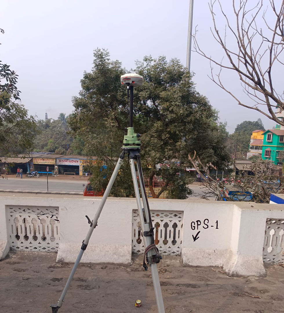
Topographic and Hydrographic Survey
-
LiDAR, HRSI or UAV derived DEM, catchment delineation, channel network
-
Reservoir Capacity Survey
-
Bathymetric Surveys
-
Submergence and Land Acquisition Survey
-
Rehabilitation and Re-Settlement Survey
-
Socio Economic Survey
-
Geotechnical Investigation
-
Construction Material Survey and Soil Survey
-
Road & Drainage Survey
-
Embankment Survey, Mapping and health Checking
-
Bathymetric Survey
-
-
Compendium Planning for Irrigation Command Area
-
Water Availability Studies, Capacity assessment
-
Integrated River Basin Planning
-
Feasibility Reports and Detailed Project Reports
-
Design of Hydraulic Structures
-
Extension, Renovation and Modernization.
-
Cyclone protection works
-
Water Management and On Farm Development works
-
Restoration and Rejuvenation of Tanks
-
River Rejuvenation
-
Rejuvenation of Traditional Irrigation and Water Conservation Systems
-
Participatory Watershed Management
-
Sustainable Groundwater Management
-
Leak detection and Turnkey solution
-
-
Flood estimation and risk assessment for the design of infrastructure projects, new housing or industrial development (from individual sites to regional level)
-
Feasibility studies, Conceptual Master Plan and Detailed Project Report for flood reduction measures
-
Land drainage works
-
Flood control and management of river, sea, reservoir, and ground water flooding
-
Decision support system and real time flood forecasting system for rural and urban flooding
-
Flood zone mapping for insurance, smart city and regional planning studies
-
Morphodynamic studies for mitigating floods, restoration of rivers, lakes and coasts
-
Dam break analysis
-
Post flood study analyses
-
Adaptive river delta planning
-